
Land Survey & Site Analysis
Land Survey
Accurate land survey before you design, divide or build.
Every good design and construction decision starts with reliable site information. Our survey team measures your land, levels, boundaries and existing features so architects, engineers and owners work from the same accurate data.
We provide contour and detail surveys, land measurement and plotting, boundary demarcation, road level and earthworks surveys, area verification and construction set-out across Mansehra, Abbottabad, Battagram and Hazara.
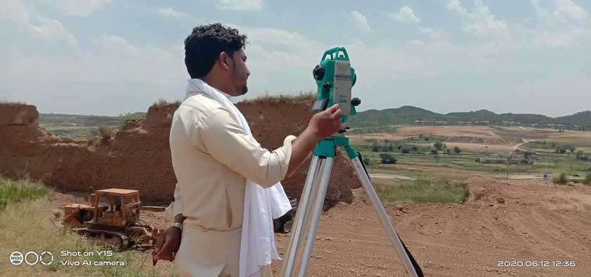
Measure & Evaluate
Our Design Focus
Reliable site data prevents costly mistakes.
Accurate dimensions, levels and boundaries protect your design, your budget and your neighbours’ trust — before a single wall is built.
Clear design direction
Buildable technical detail
Material & finish guidance
Budget-aware decisions
Site coordination support
Quality-focused delivery
What We Design
Thoughtful detail from first plan to final space.
Each service is developed around use, movement, character, technical clarity and realistic execution — not decoration alone.
Contour & Detail Survey
Ground levels, slopes and existing features mapped for design, drainage and earthwork planning.
Land Measurement & Plotting
Plot measurement and layout of plots and roads for housing schemes and family land.
Boundary Demarcation
Marking plot corners and boundaries on site so walls start in the right place.
Road Level Survey
Longitudinal and cross levels for roads, streets and access tracks.
Construction Set-Out
Transferring drawings to the ground — grid lines, foundations and levels.
Area & Level Verification
Checking built or land areas and levels against drawings or contractor claims.
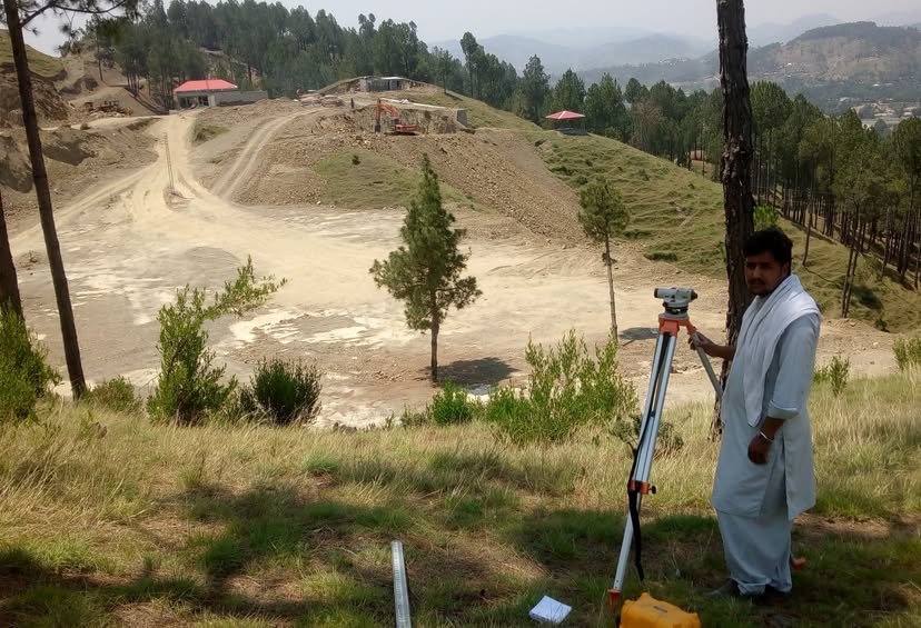
Road Survey
What You Receive
Clear survey deliverables you can build on.
Field data is processed into clear drawings and reports that architects, engineers and authorities can use directly.
Survey drawing with levels
Contour plan
Boundary & plot layout
Area statement
Level verification report
Site set-out marks
Simple, Professional Process
Clear stages. No unnecessary confusion.
STEP 01
Share Location & Goal
Where the land is, its size and why you need the survey.
STEP 02
Site Visit
Our team records measurements, levels and features.
STEP 03
Processing & Drawings
Data becomes clear survey drawings and reports.
STEP 04
Handover & Guidance
We explain results and the next design step.
Survey Guides
Read before you buy, divide or build
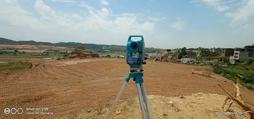
Land measurement & plotting in Mansehra
Process, documents and checks that prevent boundary problems.
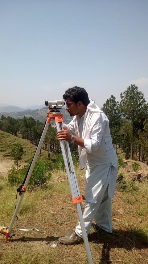
Why a site survey matters
Which survey your project needs and how it saves cost and delays.
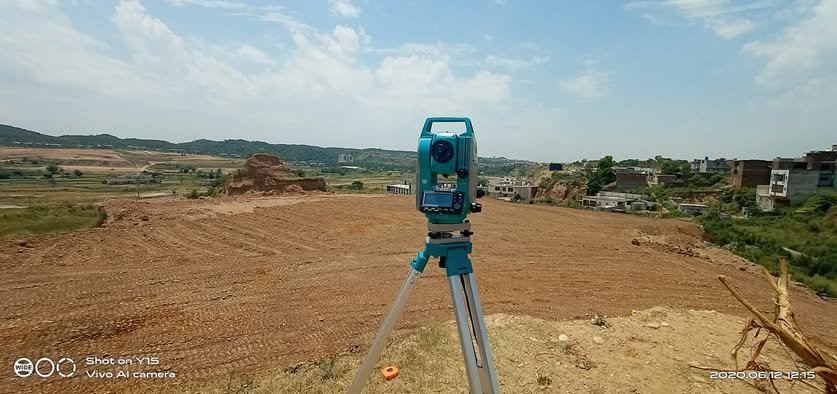
Property division & site leveling
Access, drainage and planning decisions before development.
FAQs
Land survey questions
Call or WhatsApp us with your plot size, location and requirements — or send an inquiry.
Which survey do I need before building a house?
Usually a detail survey with levels and a boundary check, followed by construction set-out once drawings are final.
Do you survey outside Mansehra city?
Yes — Abbottabad, Battagram and other Hazara towns and rural areas, subject to access.
Can you divide family land into plots?
Yes. We measure the land, propose a practical division with access and mark the plots on site.
How long does a survey take?
Small plots are often surveyed in one visit; larger or hilly sites take longer. We confirm timing after knowing size and location.
Start With a Conversation
Ready to discuss your project?
Share your site, requirements or current idea. Our team will help define the right next step.